Home > West Sussex Record Office > Tithe Award Maps, 1808-1859
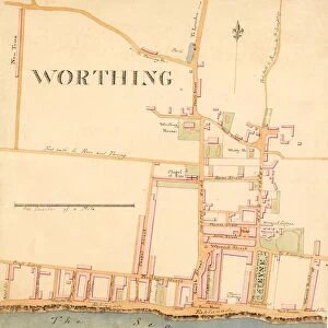
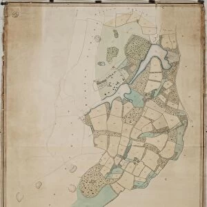
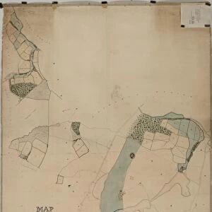
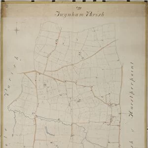
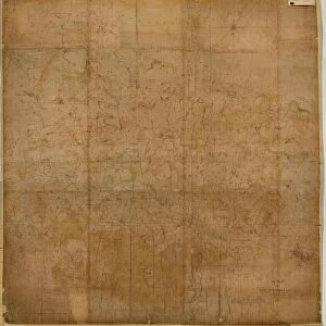
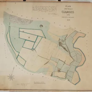
Duncton tithe map, 1837

![]()
Wall Art and Photo Gifts from West Sussex County Council
Duncton tithe map, 1837
The boundaries are principally copied from The Earl of Egremonts Manorial Maps, executed by Crow, and revised and corrected under the direction of William Knight. 16 in. to 1m. 53 × 33
Tithe Award Map Collection
West Sussex Record Office Ref No: TD/W41
Media ID 10702350
© West Sussex County Council - All Rights Reserved
1830s 19th Century Historical Mapping South Of England
MADE IN THE USA
Safe Shipping with 30 Day Money Back Guarantee
FREE PERSONALISATION*
We are proud to offer a range of customisation features including Personalised Captions, Color Filters and Picture Zoom Tools
SECURE PAYMENTS
We happily accept a wide range of payment options so you can pay for the things you need in the way that is most convenient for you
* Options may vary by product and licensing agreement. Zoomed Pictures can be adjusted in the Cart.