mail_outline sales@mediastorehouse.com
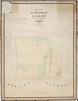
Heene tithe map, 1838By Hide and Patching, Surveyors &c. Worthing. 26.6 in. to 1 m. 48 × 35 Tithe Award Map Collection West Sussex Record Office Ref No: TD/W66
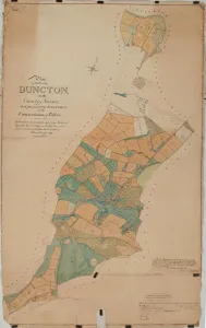
Duncton tithe map, 1837The boundaries are principally copied from The Earl of Egremonts Manorial Maps, executed by Crow, and revised and corrected under the direction of William Knight. 16 in. to 1m
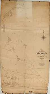
Broadwater Tithe Map, 1848By Messrs. Hide & Patching, Surveyors, Worthing. Standidge & Co. litho. 36 Old Jewry, London. 26.6 in. to 1 m. Original map size 112in. × 60in
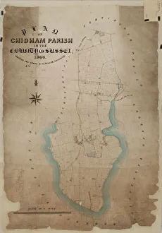
Chidham Tithe Map, 1846By E. Fuller, Chichester. 13.3 in. to 1m. Original map size 54in. × 37in. Tithe Award Map Collection West Sussex Record Office Ref No: TD/W30
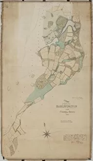
Harting tithe map, 1840From Shorto by D. Ayling, Liss, Petersfield. 13.3 in. to 1 m. 81 × 57 Tithe Award Map Collection West Sussex Record Office Ref No: TD/W65
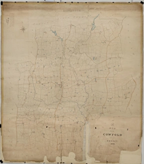
Cowfold tithe map, 1840By William Duncum, Reading, Berks. 26.6 in. to 1 m. 104 × 92 Tithe Award Map Collection West Sussex Record Office Ref No: TD/W154
Chithurst Tithe Map, c. 1840No date, but Tithe Award dated 1840. By Frederick & Henry E. Drayson. 26.6 in. to 1 m. Original map size 83in. × 36in. Tithe Award Map Collection West Sussex Record Office Ref No: TD/W31
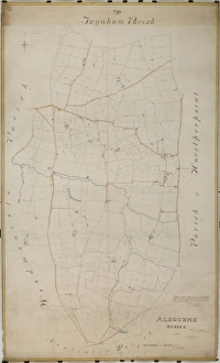
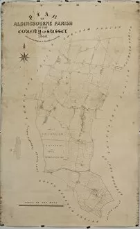
Albourne Tithe Map, 1838Surveyed by Willm Bishop Harding, Land Surveyor & Draughtsman of Frome, Somerset, Septr 1838. Copied by Willm Duncum, March 1841.rn26.6 in. to 1 m. Original map sixe 80in. × 48in
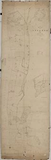
Ashington Tithe Map, 1847By Joseph Butler. 26.6 in. to 1 m. Original map size 81in. × 49in. Tithe Award Map Collection West Sussex Record Office Ref No: TD/W6
New Fishbourne tithe map, 1839By C. Lewis, Havant. 26.6 in. to 1m. 49 × 37 Tithe Award Map Collection West Sussex Record Office Ref No: TD/W87
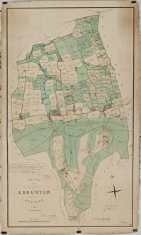
Edburton tithe map, 1842By E. & G. N. Driver, Parliament Street, London. 13.3 in. to 1m. 49 × 28 Tithe Award Map Collection West Sussex Record Office Ref No: TD/W168
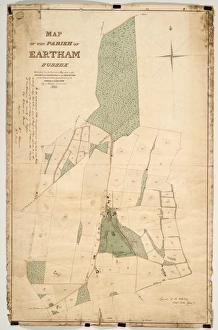
Eartham tithe map, 1840Enlarged from the Inclosure Map made in 1813. Revised and corrected to the present time for the Commutation of the Tithes of the Parish of Eartham. By J. Butler, Chichester. 13.3 in. to 1m
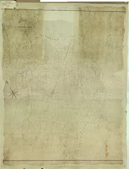
East Grinstead tithe map, 1840Surveyor unknown. 13.3 in to 1 m. 89 × 83 Tithe Award Map Collection West Sussex Record Office Ref No: TD/E45
Cuckfield tithe map, 1845Surveyor unknown. 8 in. to 1m. 53 × 42 Tithe Award Map Collection West Sussex Record Office Ref No: TD/E91
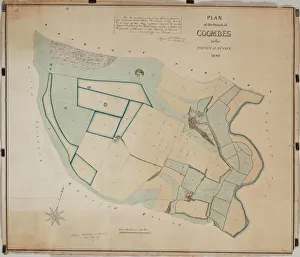
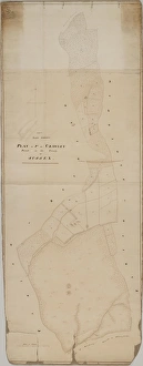
Coombes Tithe Map, 1840Surveyor unknown. 16 in. to 1m. Original map size 32in. × 37in. Tithe Award Map Collection West Sussex Record Office Ref No: TD/W38
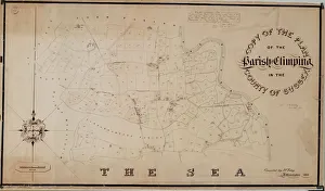
Climping Tithe Map, 1843Compiled by J. F. Tidey, Littlehampton. 13.3 in. to 1m. Original map size 28in. × 50in. Tithe Award Map Collection West Sussex Record Office Ref No: TD/W33
Billingshurst Tithe Map, 1841By Messrs. Crawter, Surveyors, Cobham, Surrey and Southampton Buildings, Chancery Lane, London. 13.3 in. to 1m. Original map size 78in. × 63in
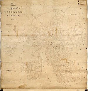
Balcombe Tithe Map, 1842By H. Walter. 20 in. to 1 m. Original Map size 79in. × 77in. Tithe Award Map Collection West Sussex Record Office Ref No: TD/E24
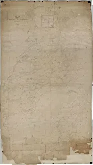
Map of Westbourne village, 1640Additional Manuscript Collection West Sussex Record Office Ref No: Add Ms 2856
Map of the manor of Woolbeding, 1652Additional Manuscript Collection West Sussex Record Office Ref No: Add Ms 1052
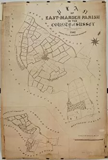
East Marden tithe map, 1842By Edward Fuller, Surveyor, Chichester. 20 in. to 1 m. 56 × 39 Tithe Award Map Collection West Sussex Record Office Ref No: TD/W49
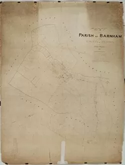
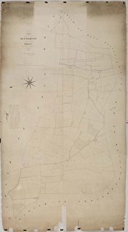
Barnham Tithe Map, 1846By Thomas Wisdom. 26.6 in. to 1 m. Original map size 65in. × 50in. Tithe Award Map Collection West Sussex Record Office Ref No: TD/W10
West Hoathly tithe map, 1841By Thos. Hughes. 26.6 in. to 1 m. 147 × 83 Tithe Award Map Collection West Sussex Record Office Ref No: TD/E41
Upper Beeding Tithe Map, 1842By J. & E. Smith, Surveyors. 26.6 in. to 1 m. Original Map Size 112in. × 94in. Tithe Award Map Collection West Sussex Record Office Ref No: TD/W165
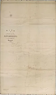
Angmering Tithe Map, 1838-39By Henry Salter, Arundel. 26.6 in. to 1 m. Original map size 138in. × 81in. Tithe Award Map Collection West Sussex Record Office Ref No: TD/W3
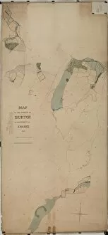
Burton Tithe Map, 1841Map of the Parish of Bodecton or Burton. [Surveyor unknown.] 26.6 in. 1m. Original size of map 85in. × 40in. Tithe Award Map Collection West Sussex Record Office Ref No: TD/W24
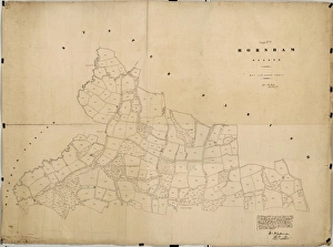
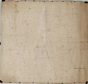
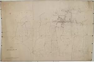
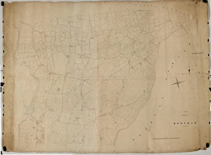
Horsham tithe map, c. 1844 (Part 1)No date, but Award 1844. Surveyor unknown. 26.6 in. to 1 m. Part I, 52 × 69; Part II, 78 × 106; Part III, 62 × 95; Part IV, 90 × 39; Part V
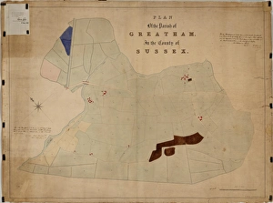
Greatham tithe map, c. 1837No date, but Award 1837. By R. Wright, 54 Gt. Ormond Street, London. 26.6 in. to 1 m. 37 × 49 Tithe Award Map Collection West Sussex Record Office Ref No: TD/W63
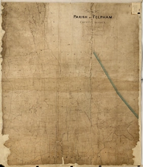
Felpham tithe map, c. 1844No date, but Award 1844. By Thomas Wisdom, South Bersted. 26.6 in. to 1m. 70 × 60 Tithe Award Map Collection West Sussex Record Office Ref No: TD/W54
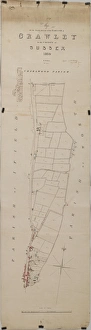
Crawley tithe map, 1839 (South section)By H. Walter, Windsor. 26.6 in. to 1 m. Part 1, 37 × 18; Part II, 37 × 26 Tithe Award Map Collection West Sussex Record Office Ref No: TD/W155
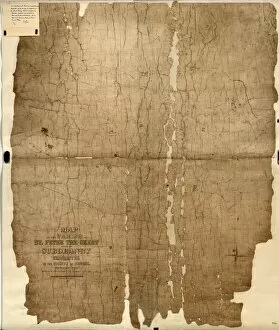
Chichester St. Peter the Great [Subdeanery] tithe map, 1846-1847Map of the District comprising so much of the Parish of St. Peter the Great otherwise Subdeanery as is without the Walls of the City of Chichester. By Joseph Butler. 26.6 in. to 1 m
Horsham tithe map, c. 1844 (Part 5)No date, but Award 1844. Surveyor unknown. 26.6 in. to 1 m. Part I, 52 × 69; Part II, 78 × 106; Part III, 62 × 95; Part IV, 90 × 39; Part V
Horsham tithe map, c. 1844 (Part 3)No date, but Award 1844. Surveyor unknown. 26.6 in. to 1 m. Part I, 52 × 69; Part II, 78 × 106; Part III, 62 × 95; Part IV, 90 × 39; Part V
Horsham tithe map, c. 1844 (Part 2)No date, but Award 1844. Surveyor unknown. 26.6 in. to 1 m. Part I, 52 × 69; Part II, 78 × 106; Part III, 62 × 95; Part IV, 90 × 39; Part V
Funtington tithe map, 1838 - 1839Copied from the Inclosure Award Map by Messrs. Driver, Whitehall [torn away], London; Revised and Corrected to the Present Time for the Commutation of the Tithes of the Parish of Funtington by J
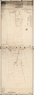
Ferring tithe map, 1837By Henry Salter. 26.6 in. to 1 m. Part I, 41 × 28; Part II, 41 × 28 (photographs) Tithe Award Map Collection West Sussex Record Office Ref No: TD/W56
Fernhurst tithe map, c. 1846No date, but Award 1846. Surveyor unknown. 26.6 in to 1 m. 122 × 85 Tithe Award Map Collection West Sussex Record Office Ref No: TD/W55
Easebourne tithe map, c. 1847No date, but Award 1847. Surveyor unknown. 26.6 in. to 1 m. 108 × 68 Tithe Award Map Collection West Sussex Record Office Ref No: TD/W45
Donnington tithe map, 1839By E. Fuller, Chichester. 26.6 in. to 1m. 73 × 31 Tithe Award Map Collection West Sussex Record Office Ref No: TD/W40
Crawley tithe map, 1839 (North section)By H. Walter, Windsor. 26.6 in. to 1 m. Part 1, 37 × 18; Part II, 37 × 26 Tithe Award Map Collection West Sussex Record Office Ref No: TD/W155
Clayton Tithe Map, c. 1838No date, but Tithe Award dated 1838. By Richard Dixon, Surveyor, Godalming. 20 in. to 1 m. Original map size 153in. × 47in. Tithe Award Map Collection West Sussex Record Office Ref No: TD/E72
Binderton Tithe Map, 1847By John Elliott, Surveyor, Chichester. 26.6 in. to 1 m. Original map size 83in. × 42in. Tithe Award Map Collection West Sussex Record Office Ref No: TD/W14
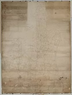
Barlavington Tithe Map, 1840Surveyor unknown. 16 in. to 1 m. Original map size 56in. × 32in. Tithe Award Map Collection West Sussex Record Office Ref No: TD/W9
Ashurst Tithe Map, 1844By John Wood, Lindfield. 26.6 in. to 1 m. Original size 95in × 70in Tithe Award Map Collection West Sussex Record Office Ref No: TD/W7
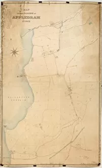
Appledram Tithe Map, 1838By J. Butler, Surveyor, Chichester. 26.6 in. to 1 m. Original map size 54in. × 33in. Tithe Award Map Collection West Sussex Record Office Ref No: TD/W4
Aldingbourne Tithe Map, 1846By E. Fuller, Chichester. 13.3 in. to 1 m. Original map size 62in. × 41in. Tithe Award Map Collection West Sussex Record Office Ref No: TD/W1
Horsham tithe map, c. 1844 (Part 4)No date, but Award 1844. Surveyor unknown. 26.6 in. to 1 m. Part I, 52 × 69; Part II, 78 × 106; Part III, 62 × 95; Part IV, 90 × 39; Part V
Earnley tithe map, 1845By Alfred Mellersh, Surveyor, Godalming. 26.6 in. to 1m. 62 × 49 Tithe Award Map Collection West Sussex Record Office Ref No: TD/W43