Home > West Sussex Record Office > Tithe Award Maps, 1808-1859
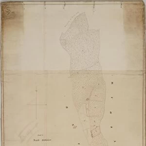
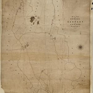
Crawley tithe map, 1839 (North section)
![]()
Wall Art and Photo Gifts from West Sussex County Council
Crawley tithe map, 1839 (North section)
By H. Walter, Windsor. 26.6 in. to 1 m. Part 1, 37 × 18; Part II, 37 × 26
Tithe Award Map Collection
West Sussex Record Office Ref No: TD/W155
Media ID 10702192
© West Sussex County Council - All Rights Reserved
1830s 19th Century Historical Mapping South Of England
MADE IN THE UK
Safe Shipping with 30 Day Money Back Guarantee
FREE PERSONALISATION*
We are proud to offer a range of customisation features including Personalised Captions, Color Filters and Picture Zoom Tools
SECURE PAYMENTS
We happily accept a wide range of payment options so you can pay for the things you need in the way that is most convenient for you
* Options may vary by product and licensing agreement. Zoomed Pictures can be adjusted in the Basket.


