
Home > West Sussex Record Office > Tithe Award Maps, 1808-1859
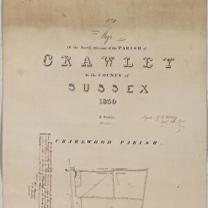
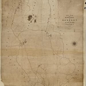
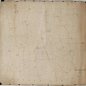
Crawley tithe map, 1839 (South section)
")
Photo Prints
Poster Prints
Home Decor
Cards
Canvas Prints
Jigsaw Puzzles
crop_portrait
Fine Art Prints
Mounted Prints
![]()
Wall Art and Photo Gifts from West Sussex County Council
Crawley tithe map, 1839 (South section)
By H. Walter, Windsor. 26.6 in. to 1 m. Part 1, 37 × 18; Part II, 37 × 26
Tithe Award Map Collection
West Sussex Record Office Ref No: TD/W155
Media ID 10702090
© West Sussex County Council - All Rights Reserved
1830s 19th Century Historical Mapping South Of England
MADE IN THE UK
Safe Shipping with 30 Day Money Back Guarantee
FREE PERSONALISATION*
We are proud to offer a range of customisation features including Personalised Captions, Color Filters and Picture Zoom Tools
SECURE PAYMENTS
We happily accept a wide range of payment options so you can pay for the things you need in the way that is most convenient for you
* Options may vary by product and licensing agreement. Zoomed Pictures can be adjusted in the Basket.
Beautiful Photo Prints and Gifts
Professionally Printed
Photo Prints are in stock
Professional quality finish
Made with high-grade materials
Carefully packed to aid safe arrival
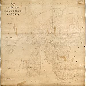
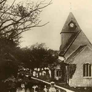
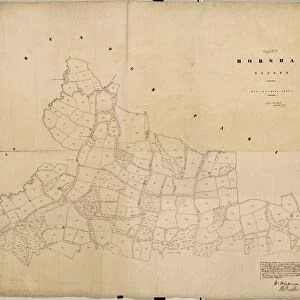
Related Images
+
Shipping
+
Choices
+