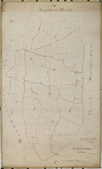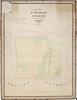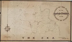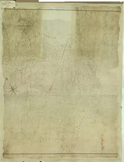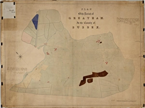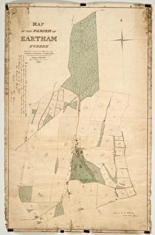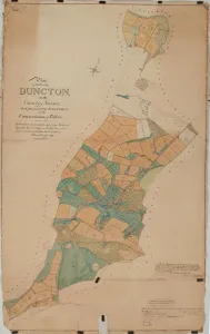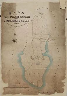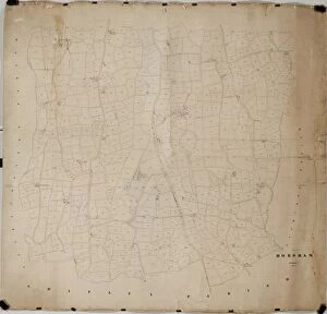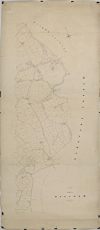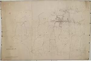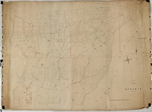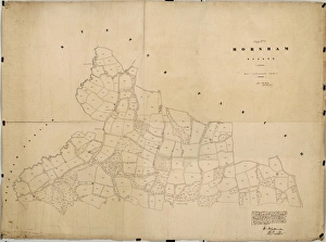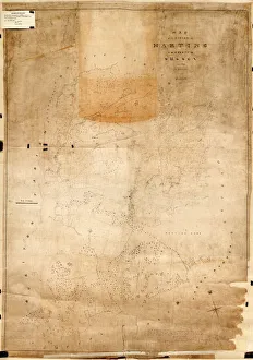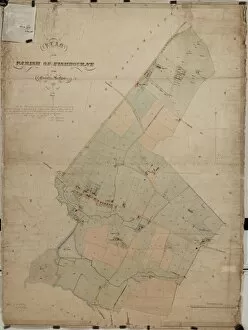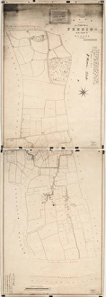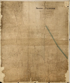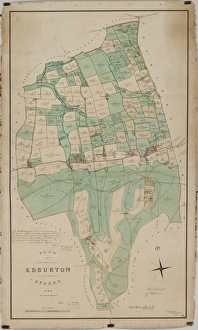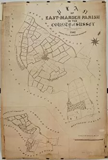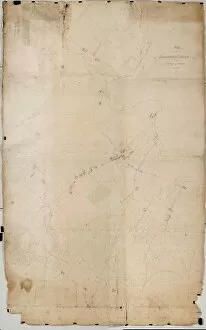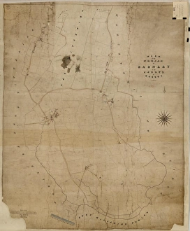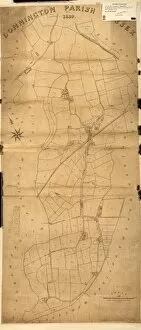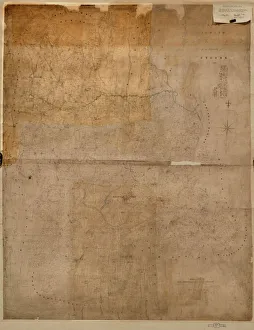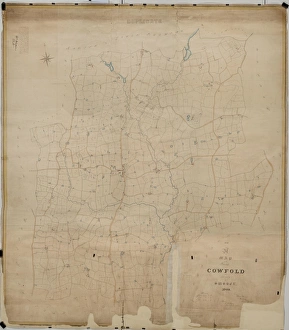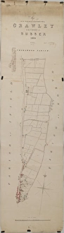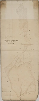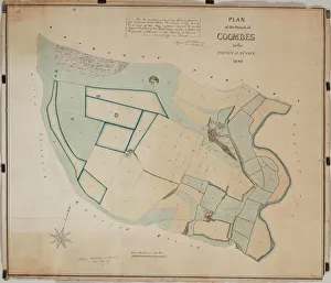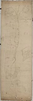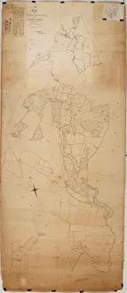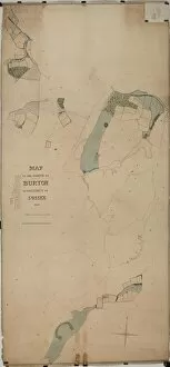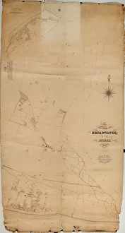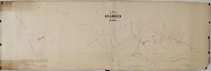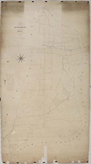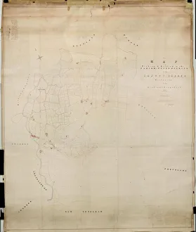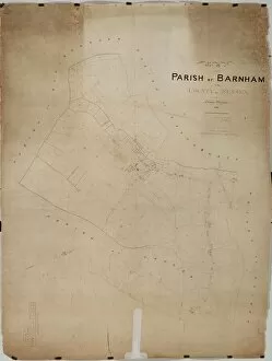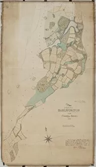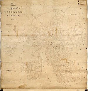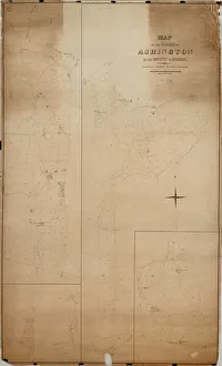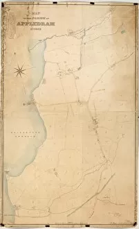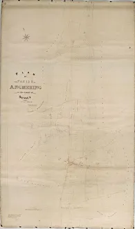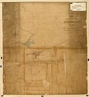
Tithe Award Maps, 1808-1859 Collection
The Tithe Award and Map were prepared for each parish in accordance with the great Tithe Act of 1836
Choose a picture from our Tithe Award Maps, 1808-1859 Collection for your Wall Art and Photo Gifts
49 items
Choose a picture from our Tithe Award Maps, 1808-1859 Collection for your Wall Art and Photo Gifts
49 items